Urban Forest Spatial Mapping Internship at Western Australian Local Government Association (WALGA)
Summary: As an intern with WALGA’s Planning and Building team, I contributed to the organisation’s Urban Forest Program by supporting the development of a spatial mapping layer for Local Government tree assets across the Perth and Peel regions. My work included
- Collated baseline data on Local Government managed tree assets.
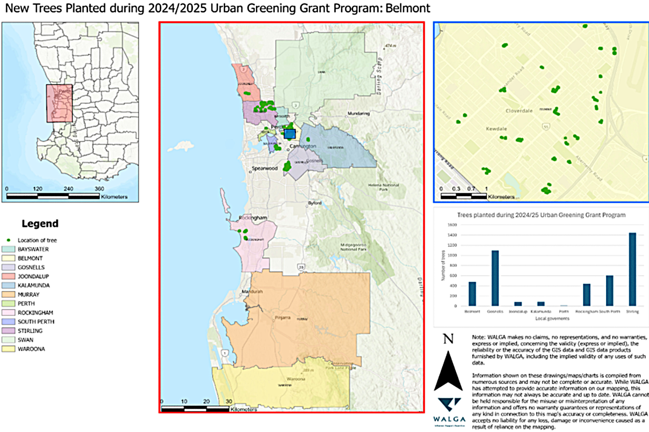
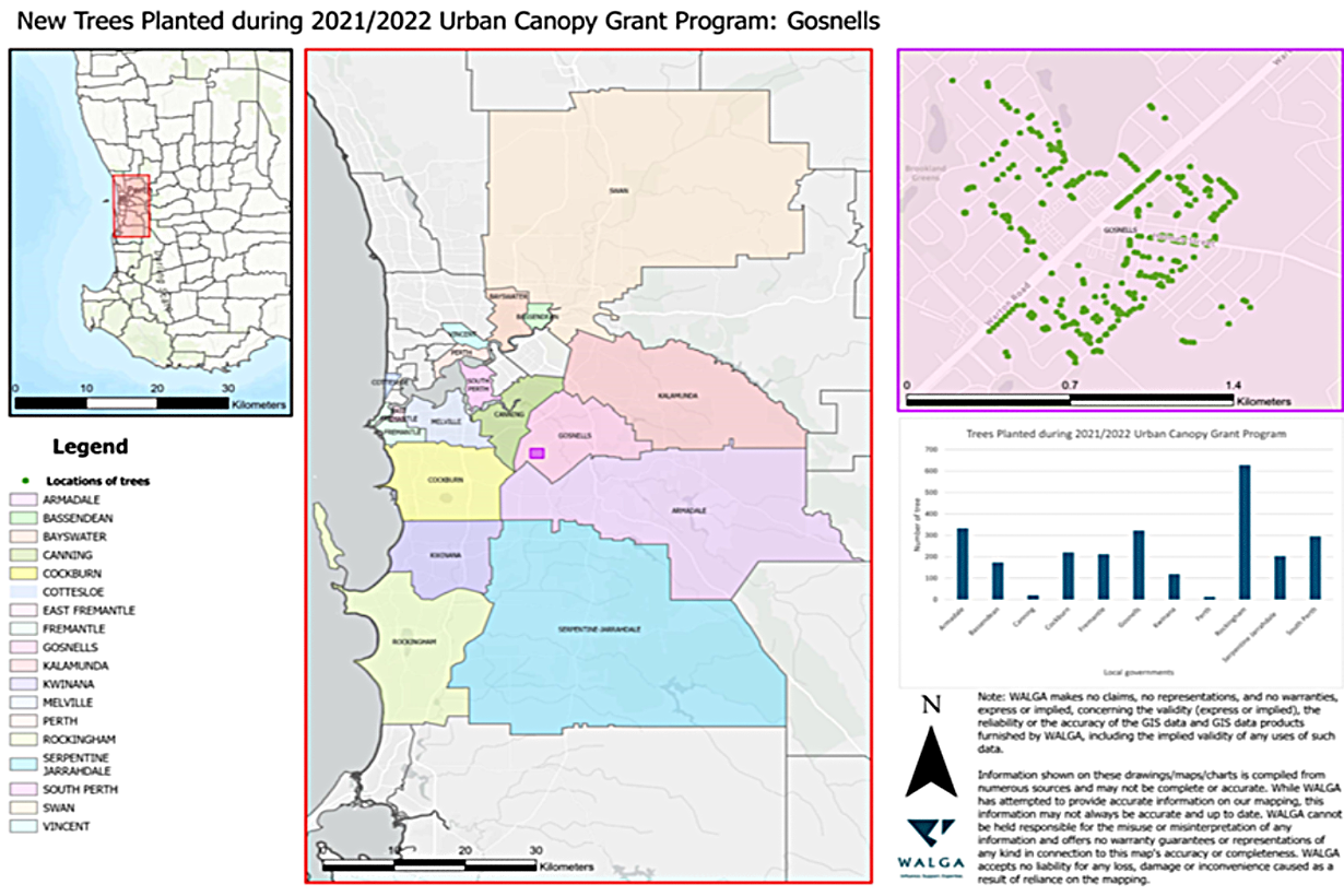
- Built a spatial mapping layer in ArcGIS Pro to visualise the distribution and composition of urban forests.
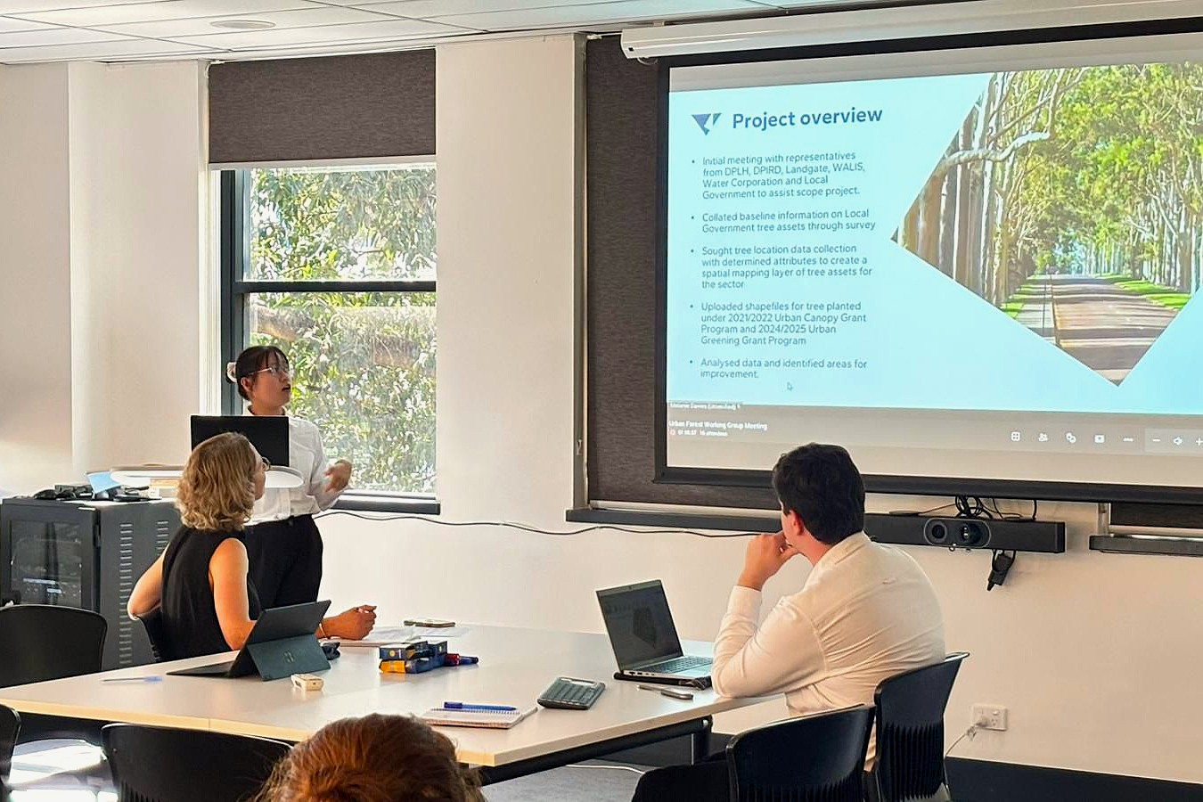
- Presented project outcomes to Local and State Government representatives, demonstrating the value of urban forestry for community wellbeing and climate resilience.
This work provided a proof of concept for WALGA’s regional urban forest mapping initiative, which later secured funding from the WA Planning Commission to expand into a full-scale demonstration project. Beyond strengthening my GIS and analytical skills, the internship deepened my appreciation of the role Local Governments and communities play in enhancing urban forests, and reinforced my long-term interest in ecological rehabilitation.